- Services
Technology Capabilities
Technology Capabilities- Product Strategy & Experience DesignDefine software-driven value chains, create purposeful interactions, and develop new segments and offerings
- Digital Business TransformationAdvance your digital transformation journey.
- Intelligence EngineeringLeverage data and AI to transform products, operations, and outcomes.
- Software Product EngineeringCreate high-value products faster with AI-powered and human-driven engineering.
- Technology ModernizationTackle technology modernization with approaches that reduce risk and maximize impact.
- Embedded Engineering & IT/OT TransformationDevelop embedded software and hardware. Build IoT and IT/OT solutions.
- Industries
- GlobalLogic VelocityAI
- Insights
BlogsNovember 6, 2023GlobalLogicOntology – key Enabler of Next-Gen Technologies
Every big or mid-sized company has a proliferation of sites, edge devices, apps, and di...
 BlogsNovember 30, 2023GlobalLogic
Smartphone on Wheels
Over the past decade, cars have undergone a significant transformation to provide a mor...

- About
Case StudiesIndoor Mapping
Share
Indoor Mapping
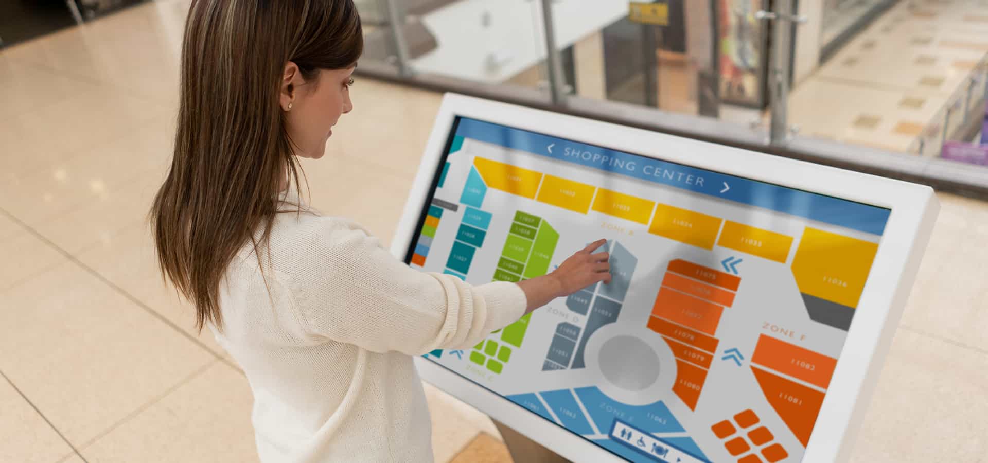
The customer is one of the world’s most innovative multinational technology companies that has over five decades of experience in designing and delivering next-generation products. They partnered with GlobalLogic to redefine the navigation experience for users across the globe. The solution helped visualize spaces inside any commercial location (malls/airports/parks/large buildings, etc) and drive productivity, security, safety, resource planning and enhanced end-user experiences.
Engagement
As part of the engagement, GlobalLogic collaborated with the client to build the required infrastructure and resources for indoor maps. We established the entire ecosystem and expertise around the domain and enabled as well as maintained the real time updates on their indoor map functionality. Periodic identification and correction of product & tool blockers yielded in increased throughput efficiency and enhanced indoor maps accuracy.

Process
The customer approached GlobalLogic with a need to build an indoor mapping system which would not only expand their product portfolio, but also help them to compete with the world leader in navigations systems. GlobalLogic partnered with the client in November 2016 to create an indoor navigation system for all kinds of commercial locations (including shopping centers, hospitals, airports, transit stations, stadiums, museums, parks and all public entities) and has since been an integral part of their product roadmap.
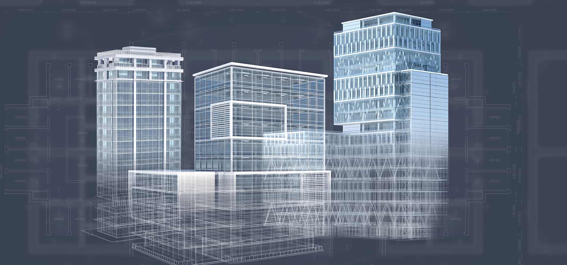
Indoor mapping system is a complex process that involves detailed study of each floor plan to intrinsically create maps for buildings, levels, units, openings, amenities, section areas and more. The resources used extensively to build Indoor maps include an aerial view similar to orthophotos, Computer Aided Design (CAD) of the building’s floor plans, and an interior 2D/3D layout with a 360-degree view of each room inside the building or infrastructure. All the above three layers get integrated to provide an accurate XYZ position to enable superior navigation experience for users.

Outcomes
- Location Mapping & Accuracy: Mapped 2085 venues across 15 categories in 50+ countries, globally. Indoor maps of 77 airports and 686 shopping malls are already live on the customer’s maps.
- Space Visualization: Helped visualize and analyze indoor spaces such as renovations, optimized indoor routing, current tenant information, emergency stations/exits, parking information, etc.
- Integrated Wayfinding: Enabled easy outward-inward navigation by combining the power of Global Positioning Systems (GPS) and Indoor Positioning Systems (IPS)
- Asset Tracking: Visualized static and moving assets to display and track their location and movement on high-fidelity indoor maps by combining data from IPS.
- Proximity Services: Created situational awareness and assessed the proximity of destinations from users and assets to deliver hyperlocal content in real-time.
Related Content
Blogs4 March 2025The Future of Agentic AI: Designing Reliable Systems for Enterprise Success
AI GovernanceAI-Powered SDLCMLOpsCross-Industry Case StudiesGlobalLogic
Enhancing Knowledge Management with AI-powered Automation
Discover how GlobalLogic’s GenAI Platform of Platforms (PoP) transformed knowledge...
GenAITechnology Case StudiesGlobalLogic
Driving 865% Sales Growth with Adobe Analytics & AEM
Explore how GlobalLogic transformed a leading retailer’s mobile experience with...
AnalyticsProduct and UI/UX DesignUser and Market ResearchRetail and Consumer Get in touch
Let’s start engineering impact together.
GlobalLogic provides unique experience and expertise at the intersection of data, design, and engineering.
